Hit the Water with a Lake Tahoe Water Trail Map
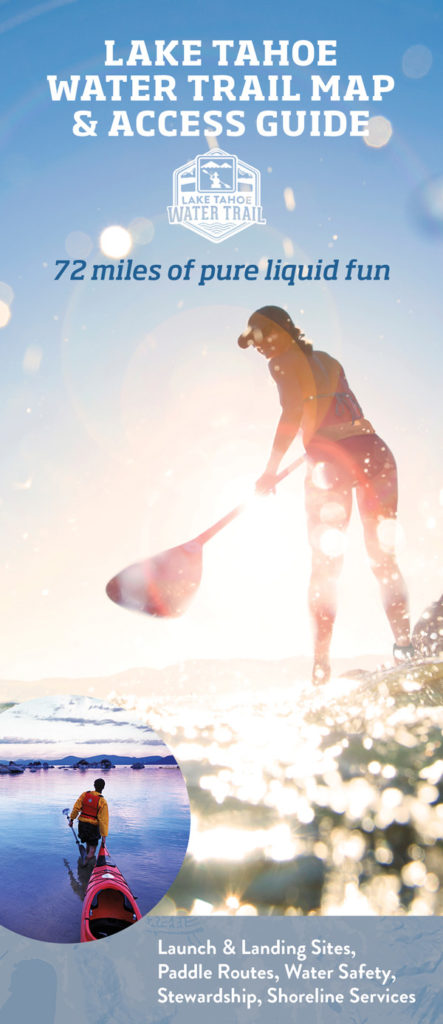 Sierra Business Council has just released the 2019 Lake Tahoe Water Trail Map & Access Guide to help paddlers safely find their way along the 72-mile water route. Completely updated, this waterproof access guide pinpoints all of the 37 public launch and landing sites including the Lake Tahoe Water Trail’s 20 trailhead sites with wayfinding signage, restrooms and parking. The folded 24″ x 36″ guide also features water safety, summer wind and weather patterns, out and back day trip routes, campgrounds, and conservation, and aquatic invasive species prevention tips to help paddlers have a safe and fun adventure while practicing good stewardship that protects the watershed.
With safety top of mind, this detailed access guide is intended to be used with the Lake Tahoe Water Trail website that includes an interactive wayfinding map to identify launch and landing sites from land and the water, real-time wind and weather conditions, downloadable Day Trip maps, and an easy to use File a Float plan tool to inform others about your planned paddle adventure.
Guides can be purchased at Tahoe paddle shops and other locations listed on the Lake Tahoe Water Trail website and online. Proceeds from the Guide purchases support Sierra Business Council to develop and promote paddler stewardship, safety and public access educational programs and materials.
Sierra Business Council manages the comprehensive Lake Tahoe Water Trail education program to teach paddlers about water safety, responsible public access and stewardship. Sierra Business Council is a triple bottom line organization working to enhance community vitality, economic prosperity, and environmental health throughout the Sierra Nevada. The Water Trail program illustrates the organization’s commitment to sustainable tourism, conservation, small business support, and community vitality.